This year, Scotland's Climate Week is celebrating climate action efforts happening across the country. 


So, how is the Woodland Carbon Code contributing? 


Creating new woodland is one of the most powerful ways to tackle climate change because trees absorb carbon dioxide as they grow.  


woodland path with surrounding trees


The Woodland Carbon Code, managed by Scottish Forestry, is the UK’s government-backed standard for creating new woodlands to generate high-integrity carbon credits. A carbon credit represents the permanent removal of a tonne of carbon dioxide equivalent from the atmosphere or the avoidance of one tonne being emitted in the first place.  


The code gives landowners the opportunity to establish woodlands that create valuable carbon units, while enabling businesses to compensate for unavoidable UK-based emissions by buying these independently verified credits. 


Measuring carbon in trees

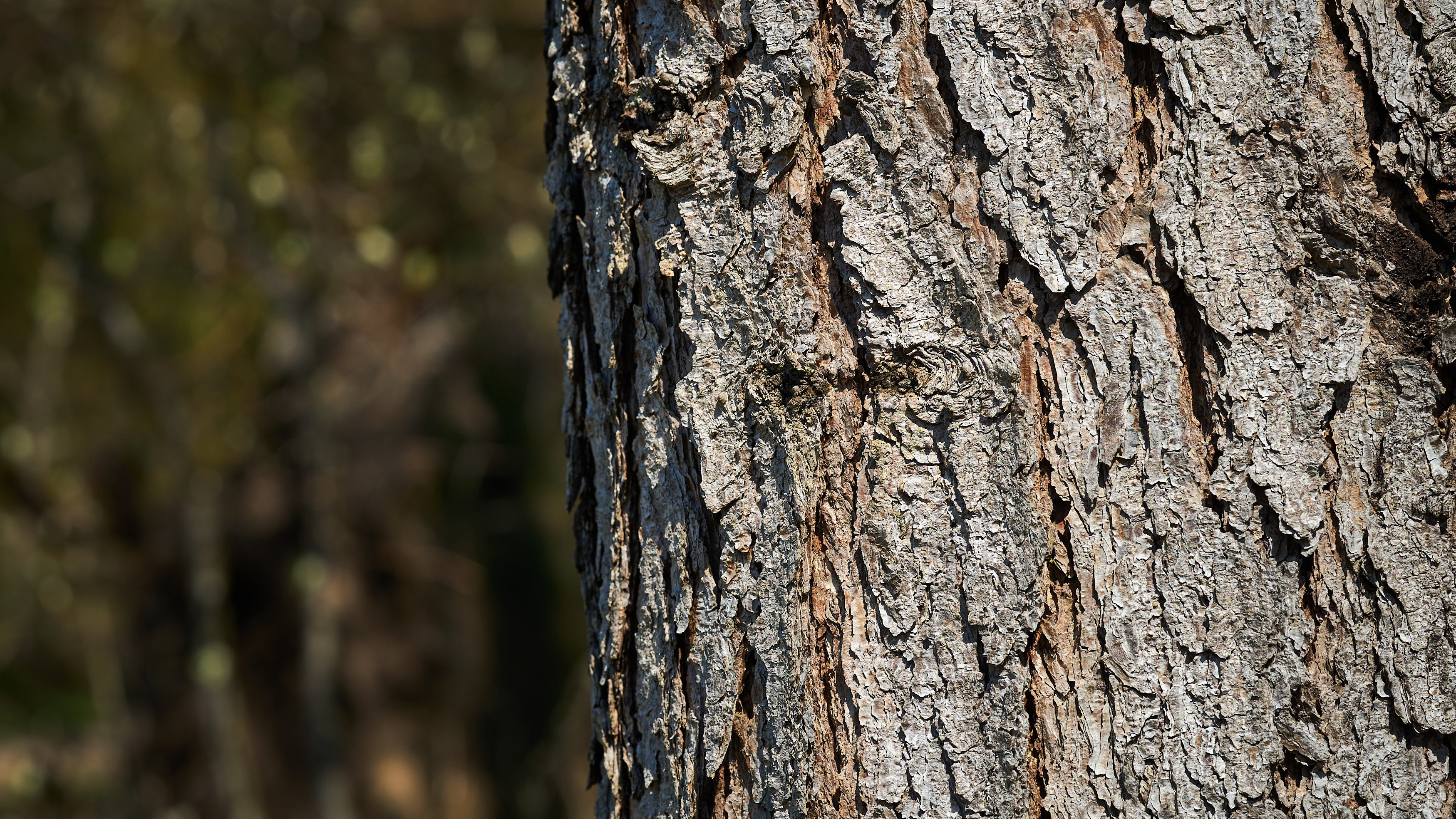
tree trunk

Understanding the predicted and current carbon stored in the trees of Woodland Carbon Code projects is essential to ensure the integrity of carbon credits.


Projects are monitored throughout their lifetime to check that claims about actual carbon capture are accurate and to ensure the woodland is establishing and continues to be well managed. Projects are independently validated and verified by organisations approved by the UK Accreditation Service.  


Verification is an ongoing evaluation. The first verification happens five years after the project start date and repeats at least every ten years after this as the trees grow. 


A total of 231 Woodland Carbon Code projects have now been verified at year five, two have self-assessed at year 15 and a collection of other projects are working towards year 15 verification.


Challenges of current survey techniques

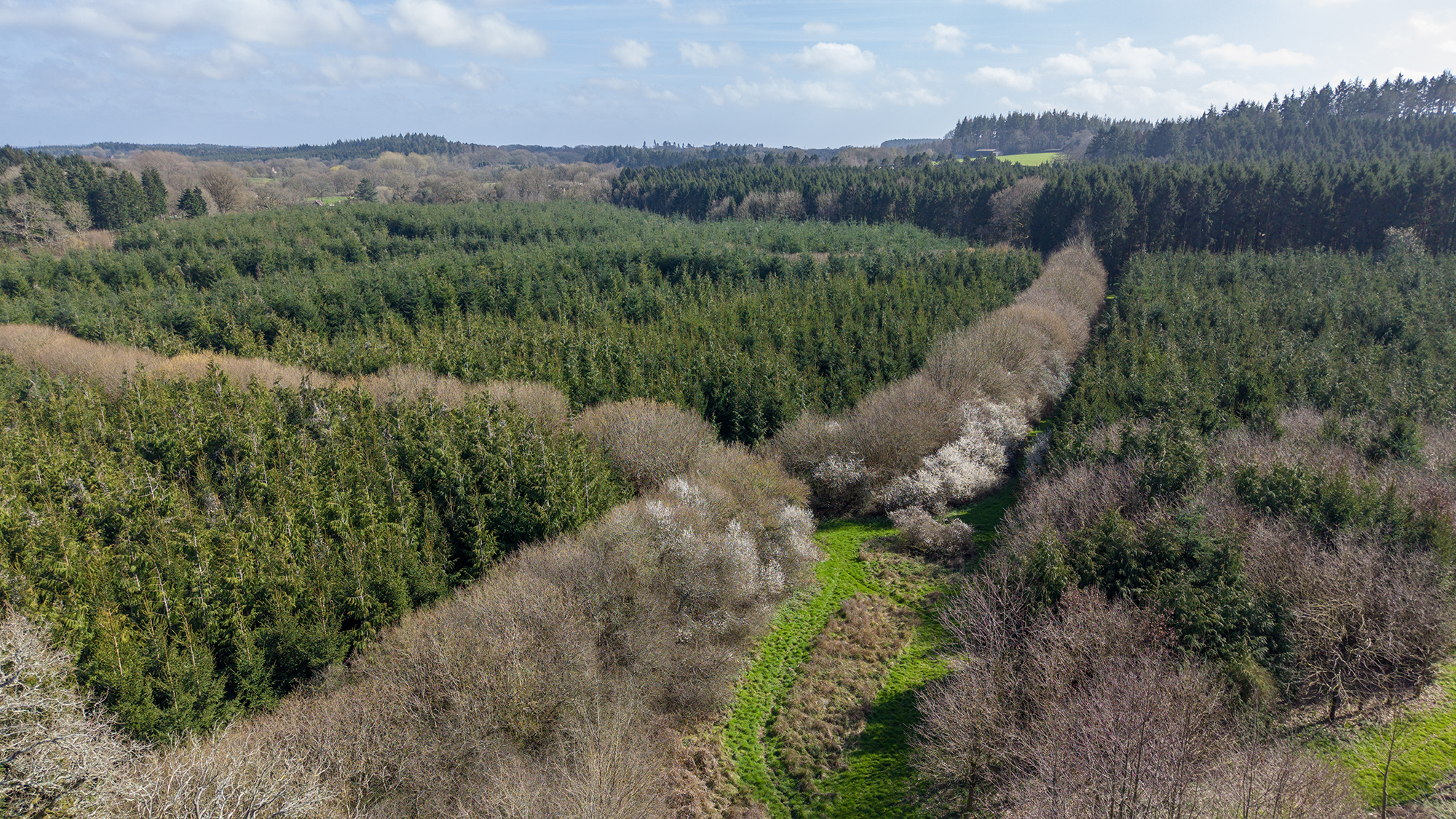
woodland from above

The verification process currently involves boots on the ground to measure trees. Verifiers walk to the site, measure tree density at specific sample plots, check species health and note any natural regeneration, browsing impacts or other observations that may influence how the woodland develops. In later verifications, tree diameter and height is measured to estimate carbon stored.  


This process is time consuming and it can be challenging to navigate undergrowth and low branches to access young woodland. Counting sample plots of trees in a woodland also inevitably involves some margin for error.


New monitoring methods

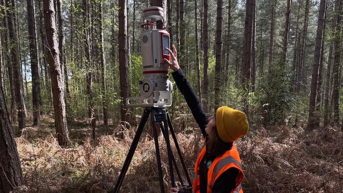
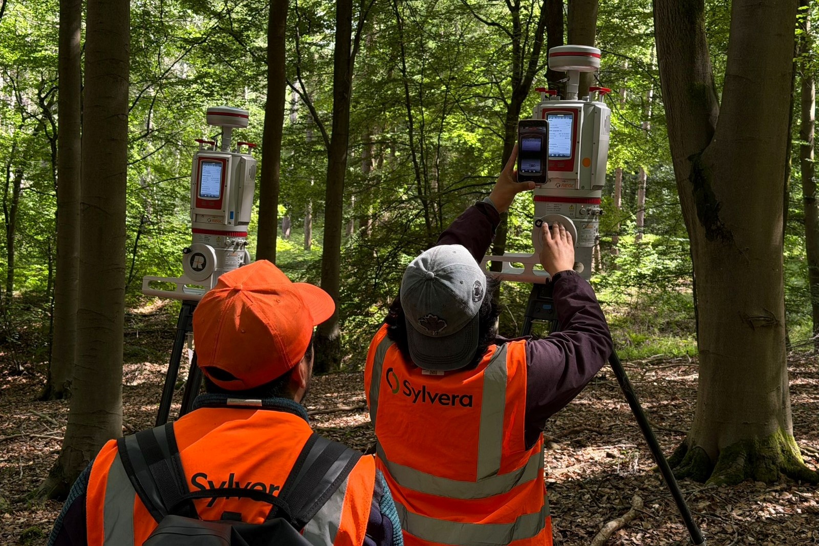
sylvera team look at terrestrial laser scanner in woodland

Woodland Carbon Code Monitoring Advisor, Leon DeBell, is exploring using innovative technologies to make it quicker and easier to monitor projects.  


This work began through a CivTech challenge focused on administering, measuring and predicting carbon, which brought the Woodland Carbon Code together with Sylvera, a leading carbon data company. CivTech is the Scottish Government's innovation programme, which connects public sector organisations with innovative businesses to develop new solutions.


Together, Sylvera and the code's team are developing a new satellite, remote sensing-based monitoring methodology to improve the estimates of carbon stored in the above-ground part of trees. This innovation aims to monitor the entire project site, rather than a sample of trees.  


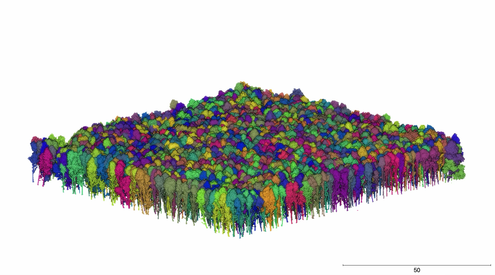
The project uses a layered approach to measure trees from the ground up using lidar, a laser-based mapping technology that can create detailed 3D models of forests from thousands or even millions of laser measurement points.
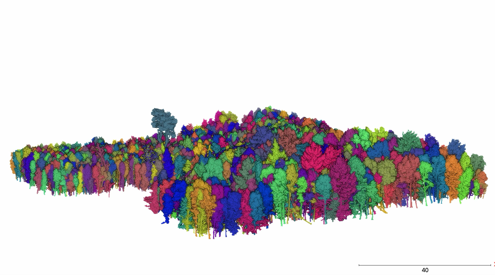
lidar imagery of a woodland

Ground-based laser scanning technologies provide a 3D representation of every tree in the site area. This year, the Sylvera team used this technique to sample 28 hectares of forest from 46 sites across Scotland, Wales and England to estimate tree volumes and carbon stock. 


This terrestrial information will be combined with data generated by helicopter-mounted laser scanning technology. Helicopter work is now underway, and Sylvera are currently collecting high-resolution data at around 525 feet above ground level and aim to cover around 100,000 hectares of woodlands and peatlands across the UK.
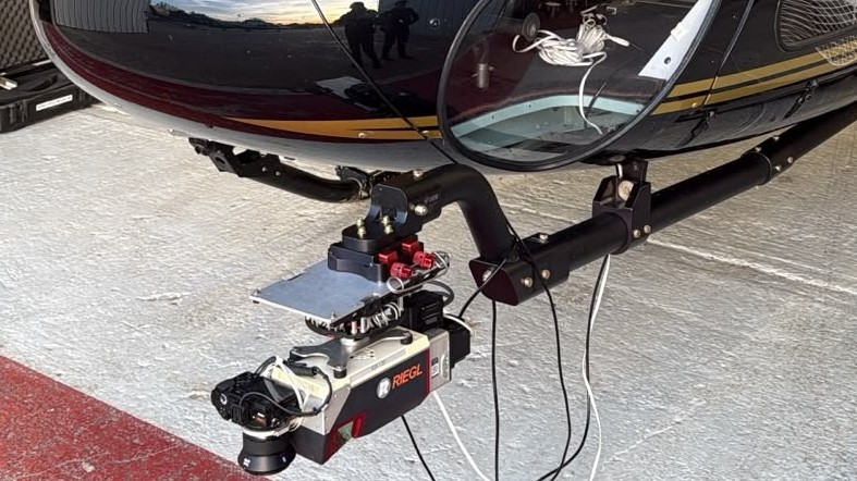

 

helicopter with lidar instrument mounted


Training satellites

The information gathered from the helicopter and ground laser sampling will be compared to traditional plot-based survey methods and used to train a model that interprets satellite data.  


Once the satellite model has been tested and validated to robustly and credibly interpret information from a project site, it will be able to provide annual estimates of changes in trees and carbon stored as satellites regularly fly over. Satellite data will also allow the Woodland Carbon Code to investigate past changes on project sites from as far back as 2017.


The Woodland Carbon Code recently commissioned work to assess the accuracy of our current field sampling methods. This will provide a benchmark for comparison with the new method, which is hoped to be at least equal in accuracy to traditional sampling techniques.  

"The level of calibration and validation data that underpins Sylvera's Earth observation product is unique, not only based on what is seemingly the latest scientific consensus approach to forest measurement, but also from a whole country approach to building a geospatial data product." Leon DeBell, Woodland Carbon Code Monitoring Advisor

A potentially record-breaking tree

During this project, the Sylvera team identified and measured the volume and height of more than 27,000 trees using ground-based laser scanning. For Sylvera, this is a record number of trees analysed in one project.

lidar image of woodland

One of these trees, a Douglas fir, may even be a record-breaking tree. Found in Gwydir in Wales, the tree was measured at 67.7 metres tall. This measurement is currently being verified and corroborated with the local Natural Resources Wales team and through airborne laser scanning. 


If confirmed, this could potentially be the tallest known specimen in Britain. This exciting discovery demonstrates the potential of the technique to provide detailed information on individual trees across wide survey areas.  


Future incorporation to the code

team member checks terrestrial laser scanner in woodland

The Woodland Carbon Code will understand the effectiveness of data gathered once work completes at the end of 2026. If as accurate and efficient as predicted, the new monitoring method will be incorporated as an approved measuring methodology for Woodland Carbon Code projects.  


This will add to the transparency, credibility and integrity of the code and will contribute to our digitisation journey, which aims to make the code more accessible and cost-effective to landowners and more attractive to carbon buyers.

"We’re very optimistic that this will help us monitor and estimate forest growth, and the subsequent carbon sequestered, in a much more consistent and meaningful way.” Leon DeBell, Woodland Carbon Code Monitoring Advisor

A note on funding

The Woodland Carbon Code's collaboration with Sylvera originated through the CivTech 10.6 Challenge, with additional funding support from Defra, Scottish Forestry and the IUCN UK Peatland Programme. 


Did you find this page helpful?

Rate your experience

Your feedback helps us to improve this website. If you would like a response, please include your email address.

Your feedback helps us to improve this website. If you would like a response, please include your email address.