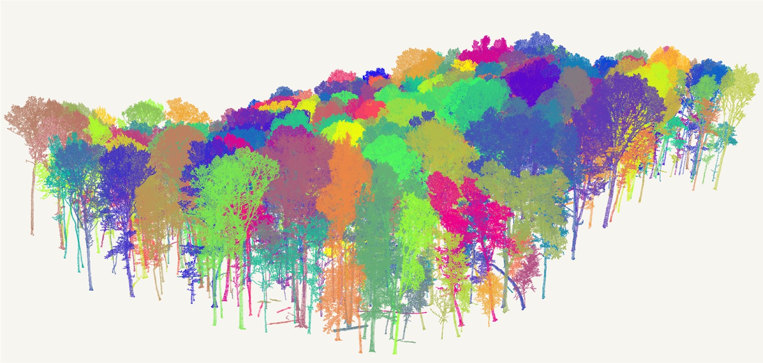
We’re excited to be collaborating with Sylvera and the IUCN UK Peatland Programme to integrate cutting-edge satellite and lidar technology into the Woodland Carbon and Peatland Codes.
The project will develop a methodology which combines remote sensing and traditional field methods to monitor woodland and peatland carbon projects.
This will help to reduce the cost and time it takes to complete monitoring.
We’re aiming to complete the project by the end of 2026 and will share updates along the way.
The project has been developed through the CivTech Challenge programme. We’re grateful to the Scottish Government and Defra for their support in making this possible.